        |
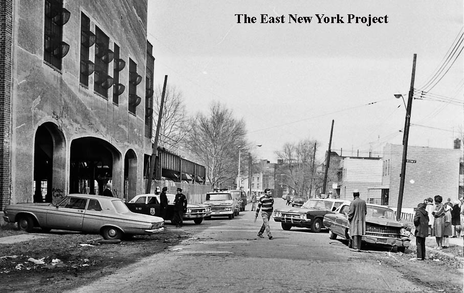
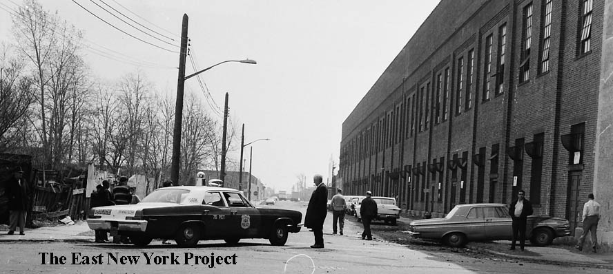
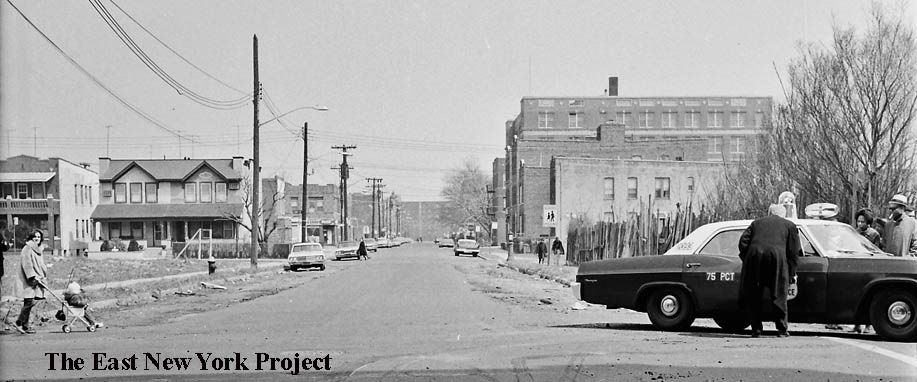
The 1960s - Part 8Continuing the "accidents" series, these are from the southern part of ENY, from Sutter Avenue on down. Visit the blog on the Home Page to find the first 7 parts. |
|||

|
|
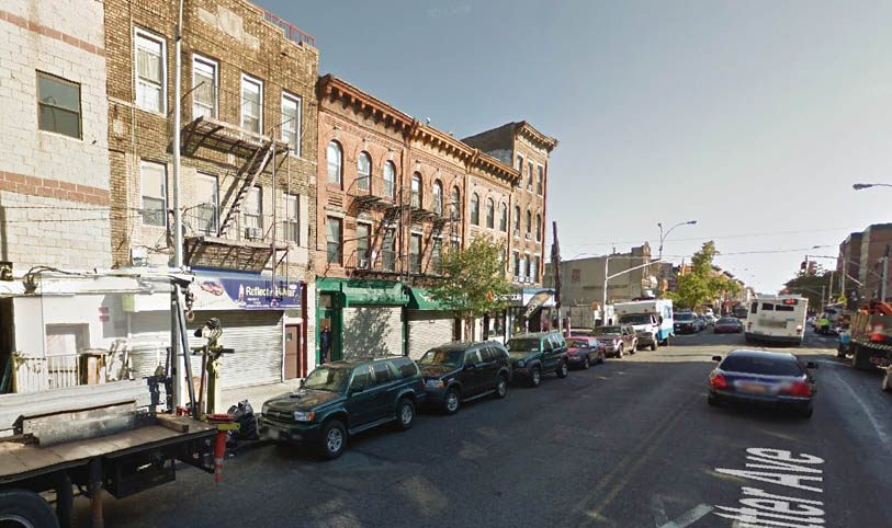
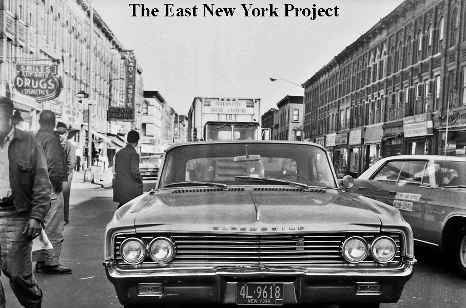
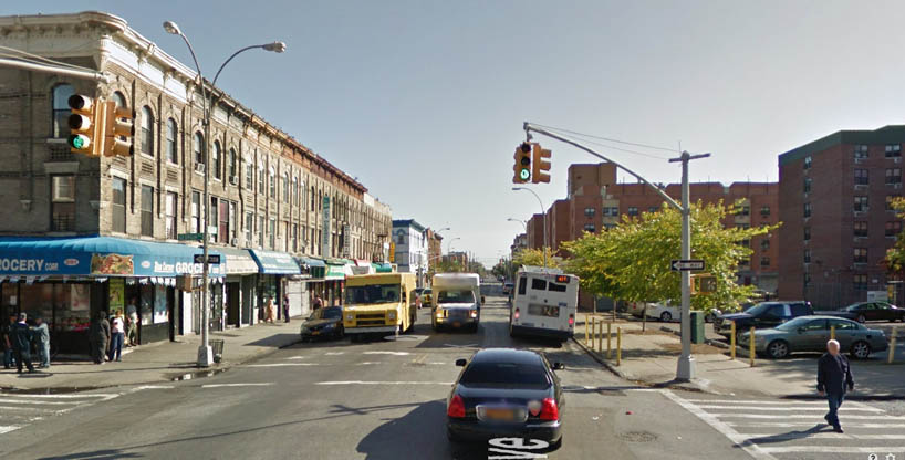
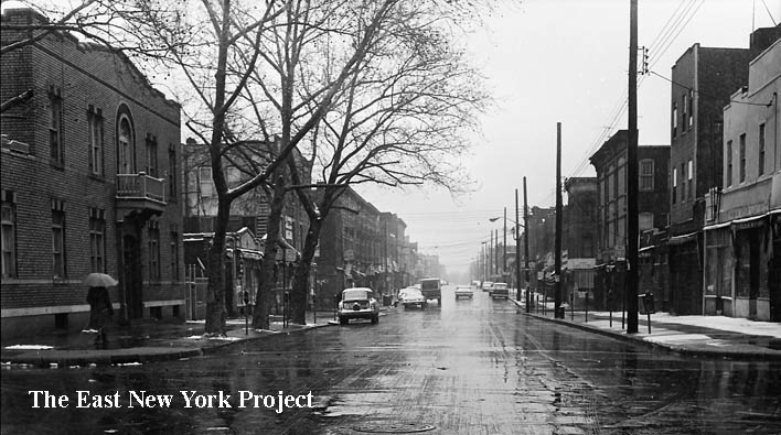
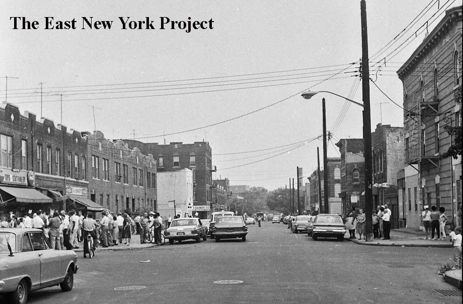
Sutter Avenue, east to Williams, 1966 and 2015 Whatever happened to Chop Suey? We can see the five buildings down to the corner are still standing today. | |
|
|
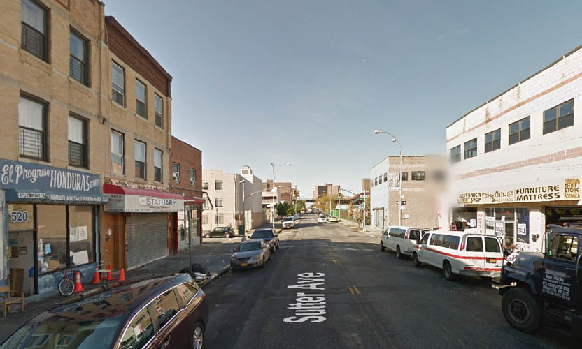
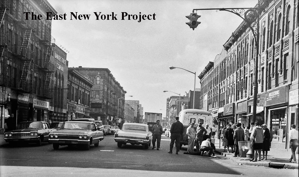
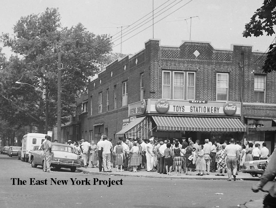
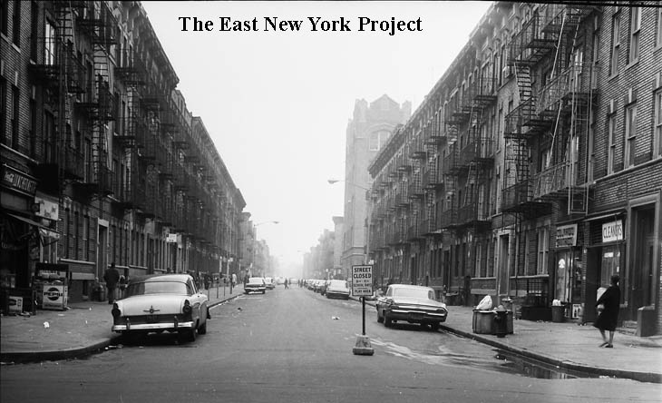
Sutter Avenue, west to Hinsdale, 1966 and 2015 Although the image quality is week, we can see the Premier Theatre in the distance, with some Spanish movies listed on the marquee. The theatre would last until 1977, and was demolished around 1980. | |
|
|
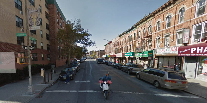
Sutter Avenue, east of Georgia Avenue, October 1966 and 2015 The buildings on the left (north) side are still standing, as seen in the 2015 image.. | |
|
|
Sutter Avenue, east from Georgia Avenue. Oddly, we can see the Premier Theatre marquee in this image we we don't see in the closer view above. The Bankers Trust building was featured in our "Lost Banks" series. Again, the north side (on the right this time) is intact while the south side is completely rebuilt. | |
|
|
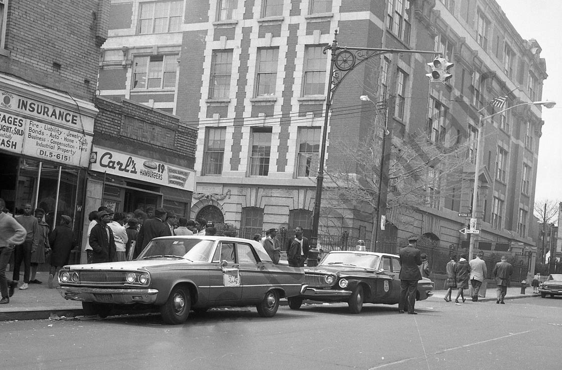
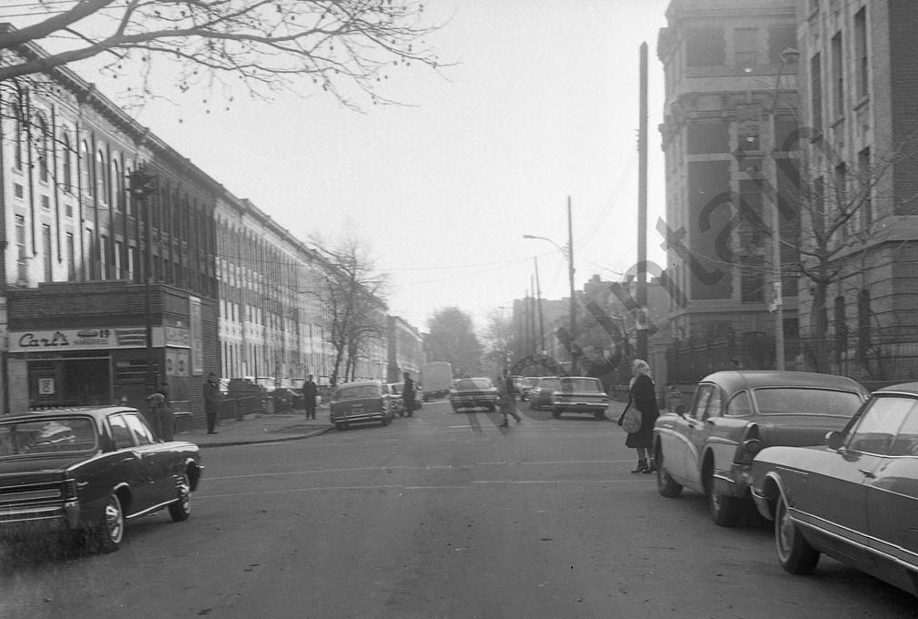
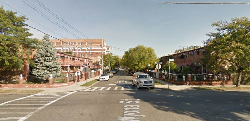
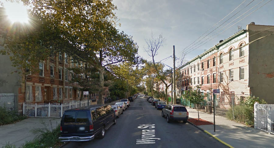
Sutter Avenue and Wyona Street, ca. 1966 These views are west along Sutter toward Wyona Street with P.S. 149 in view. | |
|
|
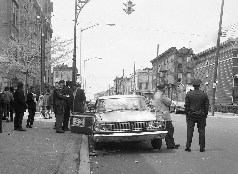
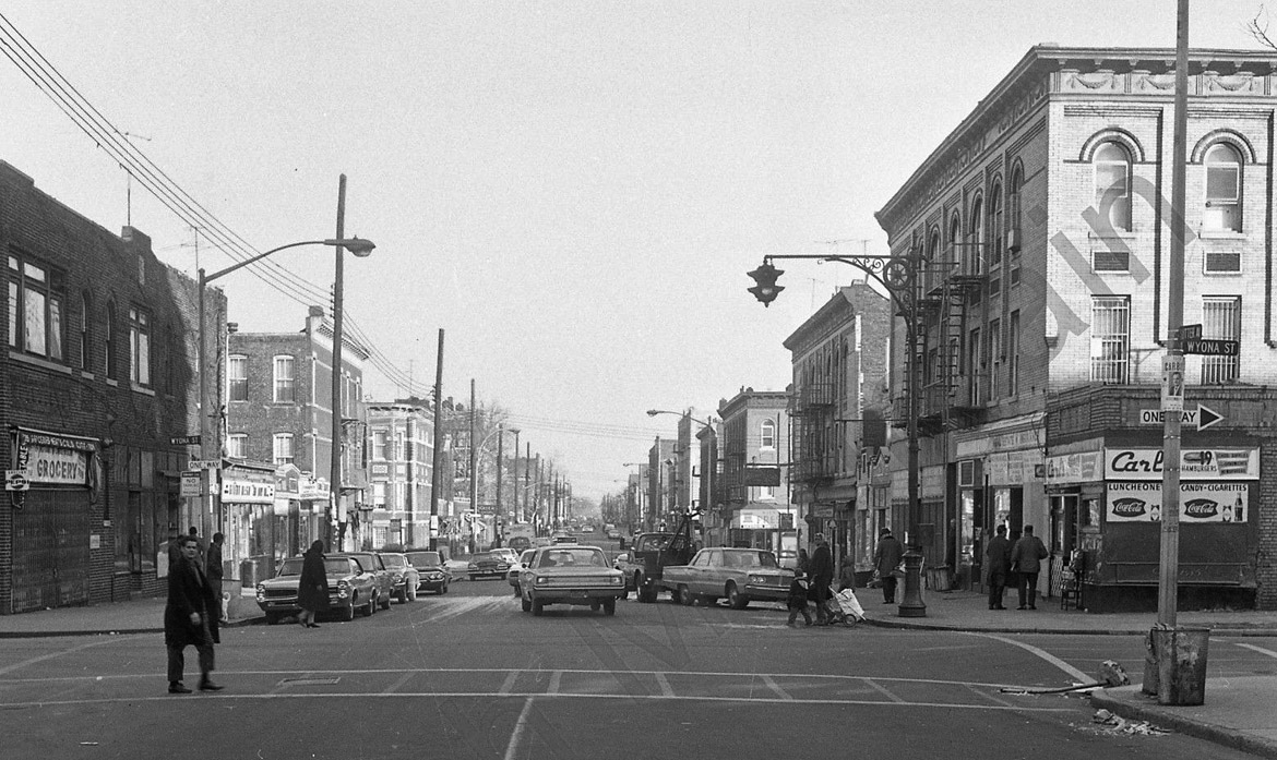
Sutter Avenue and Wyona Street, ca. 1966 The first view is east along Sutter from Wyona Street, the second view is south down Wyona from Sutter. | |
|

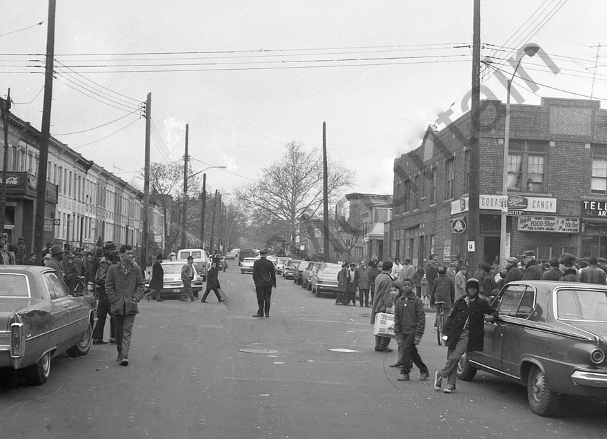
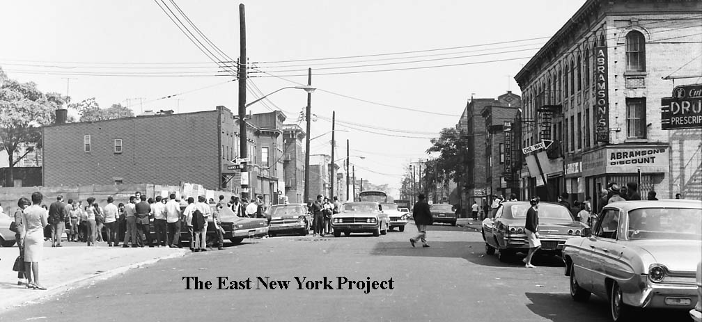
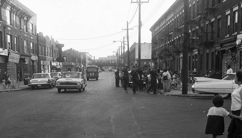
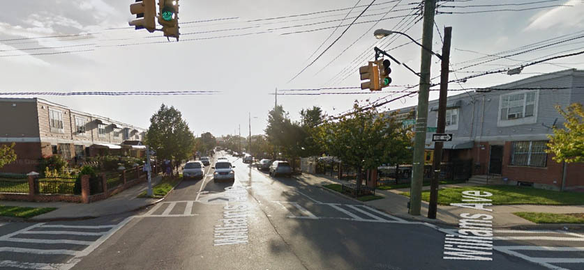
| Sutter and Van Siclen Avenues, Ca. 1966 I love this first view looking north up Van Siclen across Sutter. There's a guy carrying a TV set to that shop on the right amidst all the chaos, as people look out the window and kids pose for the photographer. We can see in the 2015 shot that the houses on the left are still there. |
|
|
|
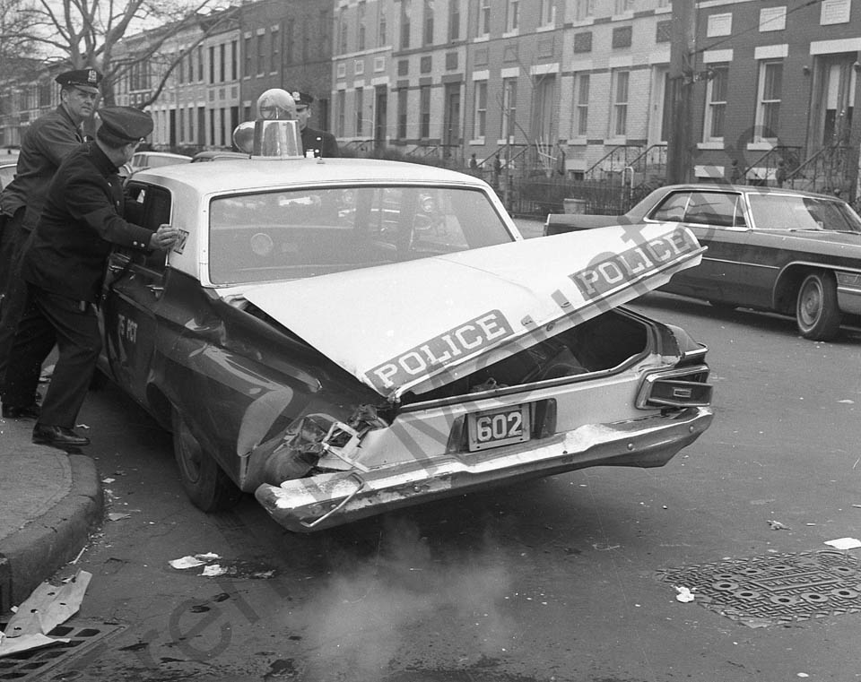
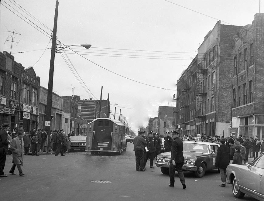
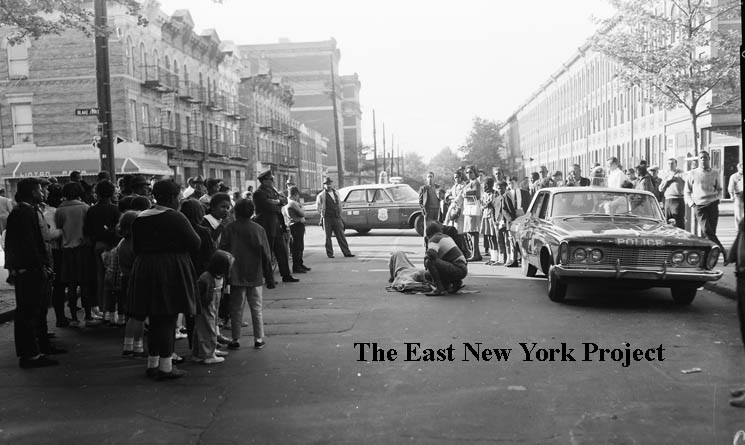
Sutter and Van Siclen Avenues, Ca. 1966 Apparently the police were involved in that one! On the right the view is east along Sutter from Van Siclen. | |

|
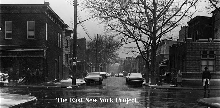
| Schenck and Sutter Avenues, circa 1965 The first view is north up Schenck across Sutter. The closeup is the southwest corner. | |
|

| Schenck and Sutter Avenues, circa 1965 The first view is east along Sutter; in the second the camera has turned 180 degrees to face west down Sutter from Schenck. One oddity; the sign reading "Stop here on Red Signal". The nearest light is a block away? | |
|
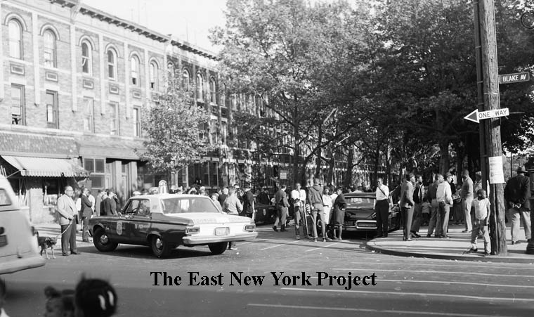
| Wyona and Blake, circa 1966 We've moved down to Blake Avenue, and the first view is north up Wyona Street across Blake, with P.S. 149 in the distance. | |
|
 |
Wyona and Blake, circa 1966 The camera is turned south down Wyona, and in the update photo we can see those brownstones have survived. | |
|
Jerome and Blake, circa 1966 We are looking east down Blake Avenue from Jerome Street. | ||
|

| Jerome and Blake, circa 1966 The view is north up Jerome Street from Blake about 1966 and 2015. | |
 |
Blake Avenue and Berriman Street, ca. 1966 This is the northeast corner of Blake and Berriman Street. | ||
|

| Blake Avenue and Berriman Street, ca. 1966 I didn't line up the update photo - in the 1966 image we are looking east down Blake from Berriman, but the update photo is looking south down Berriman Street. I wanted to shot the newer (2009) East New York Junior High School of Excellence on the right. | |
|
| Williams Avenue, between Livonia and Dumont ca. 1966 Both views are north, with P.S. 182 in the distance on the right. | |
|

|
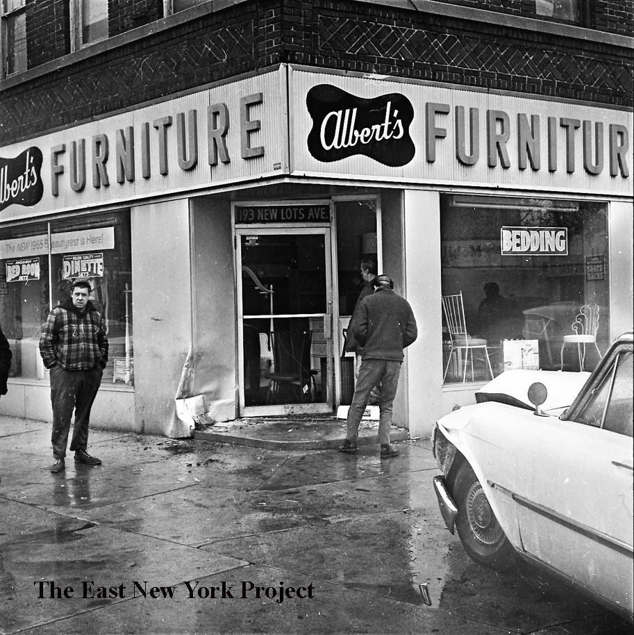
Snediker and New Lots Avenues, March 29, 1965 The first view is west across Snediker along New Lots Avenue; the second is north up Snediker. | |
|
|
Snediker and New Lots Avenues, March 29, 1965 The closeup is the northwest corner. The view on the right is east along New Lots Avenue. | |
|
|
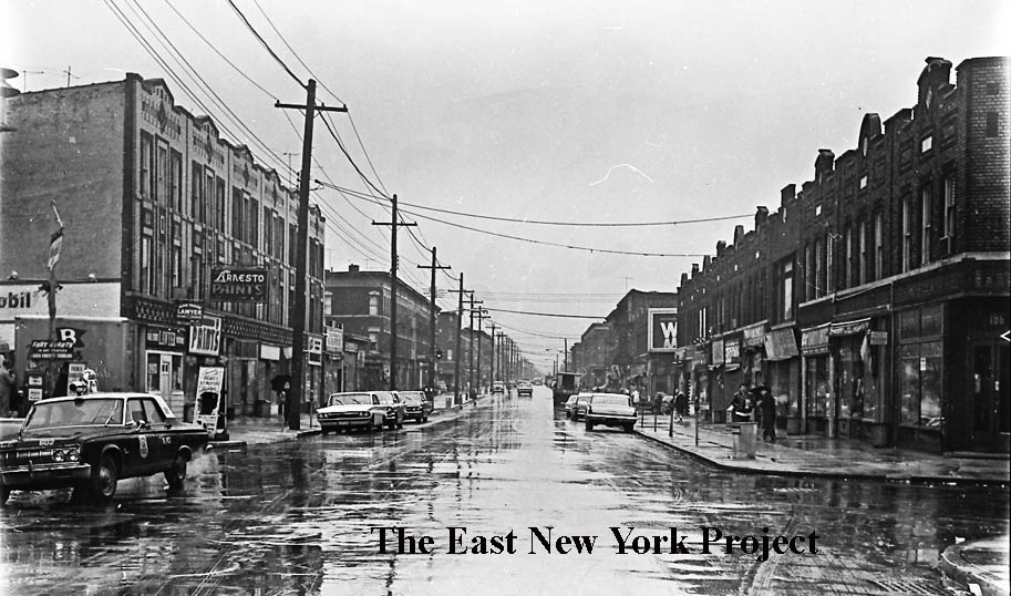
New Lots Avenue, west from Williams Avenue, 1966 and 2015. This is the opposite view from the shot above, and as we can see from the 2015 photo, the stretch has changed completely. | |

|

|
Van Siclen and New Lots Avenues, March 1966 This is Van Siclen south of New Lots Avenue; the first view is facing the west side and the second is the east side; these buildings are still standing. | |
|
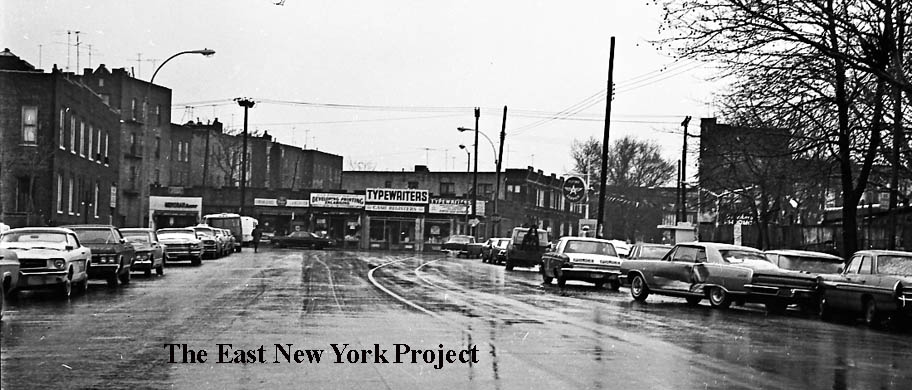
Van Siclen Avenue, north to New Lots Avenue, March 1966 A true timestamp; a typewriter store is visible on New Lots Avenue. | ||
|
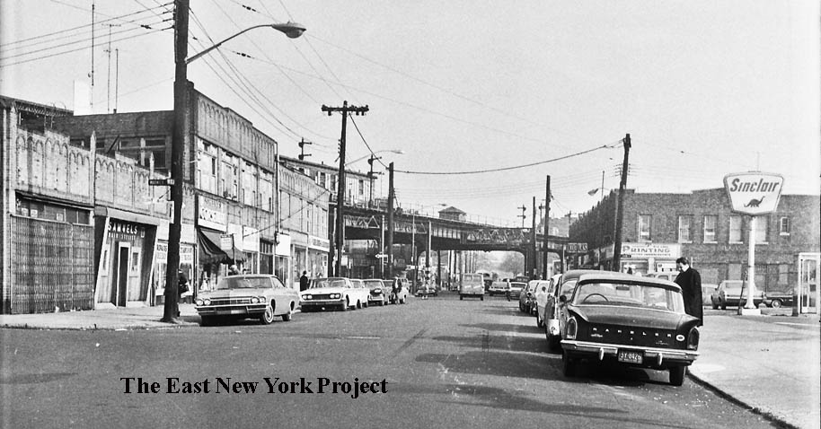
New Lots Avenue, east to Ashford Street, 1965 We can see the New Lots line crossing over from Livonia Avenue in the distance. | ||
|
|
Essex Street and New Lots Avenue, 1965 The first shot is looking north up Essex across New Lots Avenue. The second view is east along New Lots Avenue. | |

|
Essex Street and New Lots Avenue, 1965 This closeup is looking southwest, with the convent for St. Gabriel's visible in the background. | ||
|
|
Linwood Street and Hegemann Avenue, April 5, 1967 The first image is looking north up Linwood, the second is south. | |
|
Linwood Street and Hegemann Avenue, April 5, 1967 The view is east along Hegemann with P.S. 202 in the distance. | ||
|
|
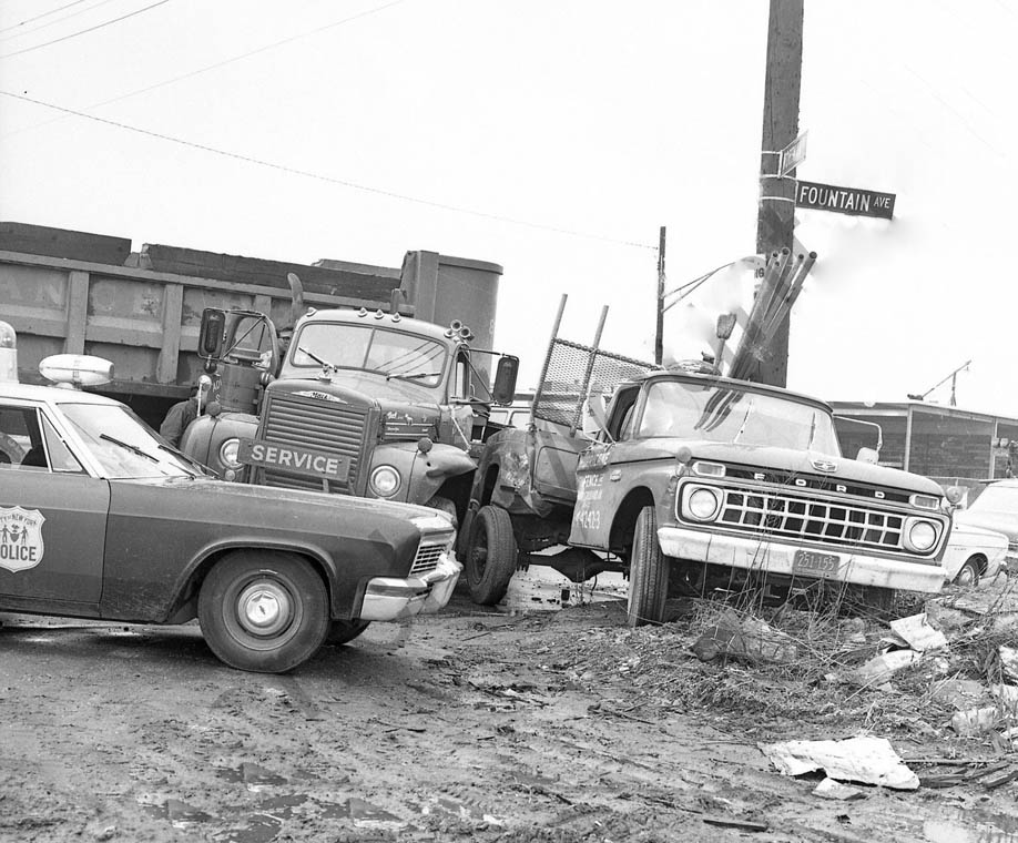
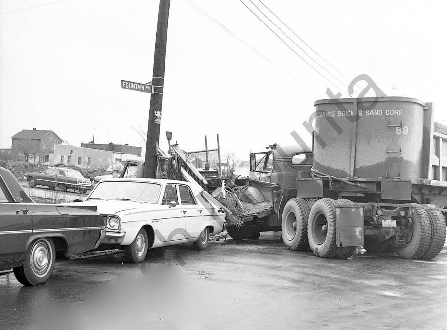
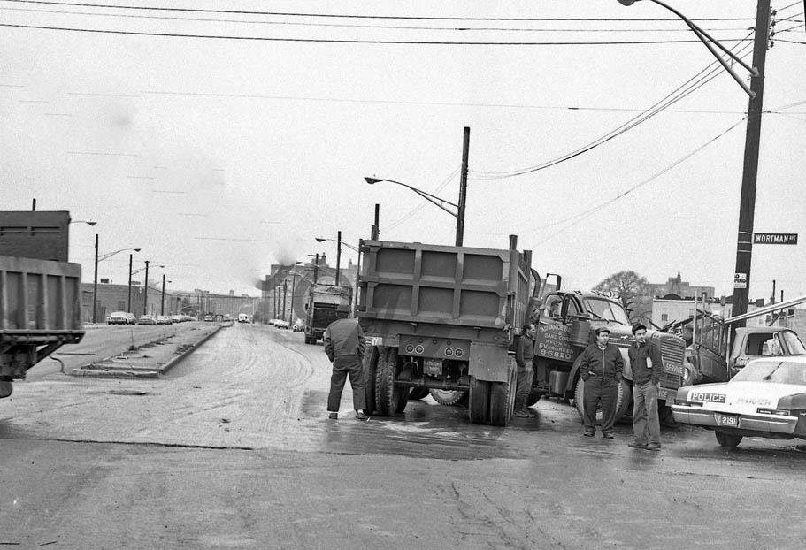
Wortman and Fountain Avenues, ca. 1966 | |
|
|
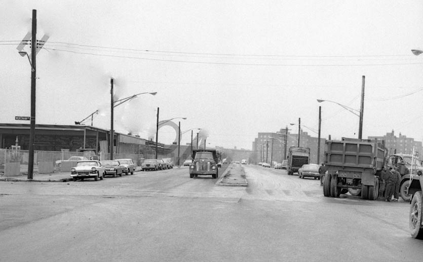
Wortman and Fountain Avenues, ca. 1966 Looking north up Fountain; the Cypress Hills Houses are in the distance. | |