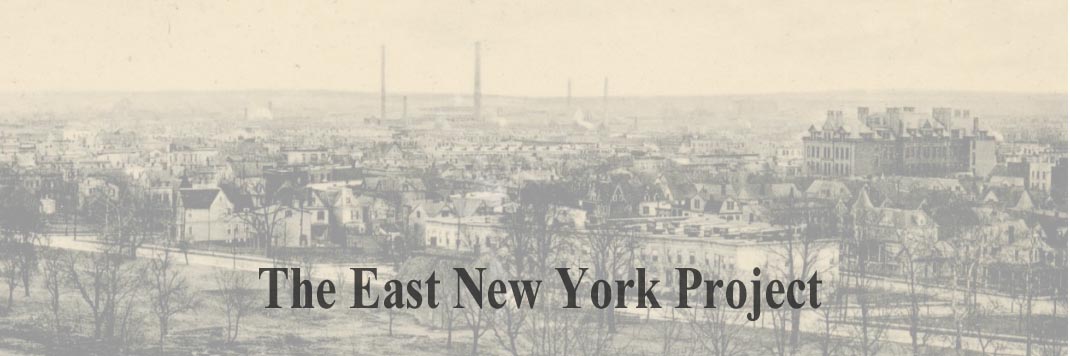
        |
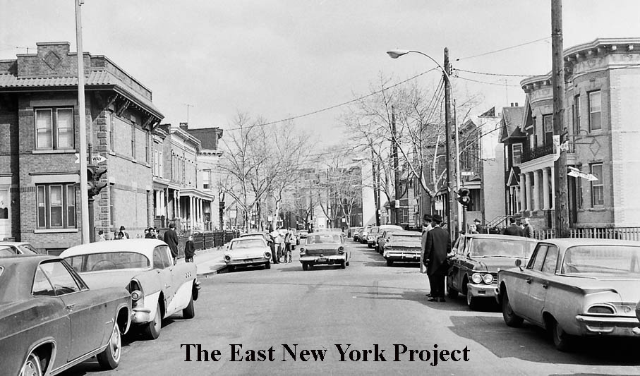
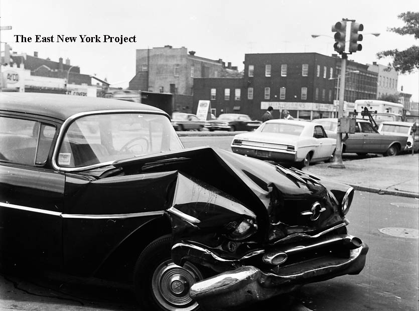
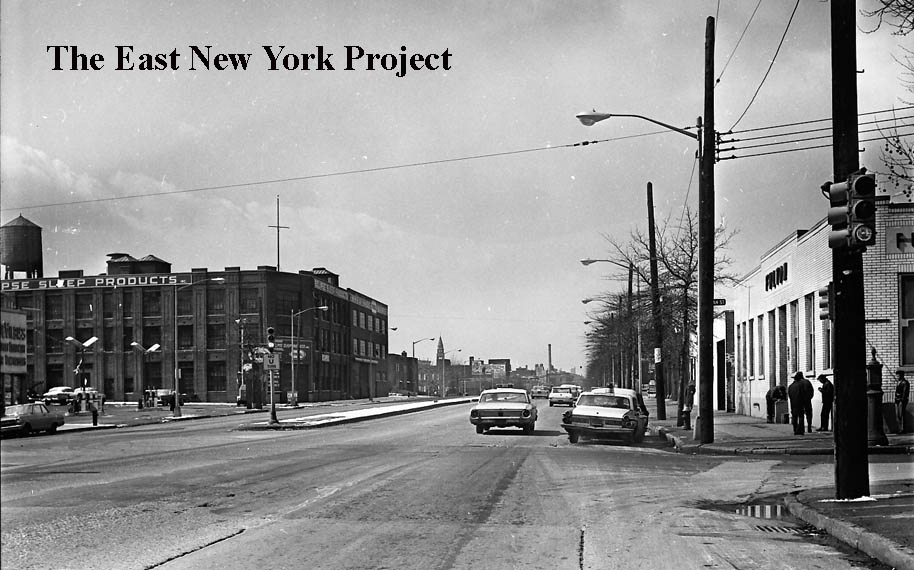
The 1960s - Part 4Our first group of accident scenes was concentrated in the southern portion of ENY; this installment of our series will focus on the area north of Atlantic Avenue. |
|||||||||||||||||||||||||||||||||||||||||||||||||||||||||||||||||||||||||||||||||||||||||||||||||||||||
|
|
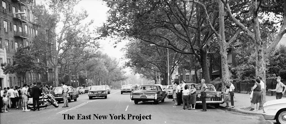
Highland Boulevard, June 6, 1966 We start as far north as we can-on Highland Boulevard. In the first shot, the view is west from Bulwer Place towards Miller Avenue. On the right we are looking at the south side of Highland Boulevard just off Miller. | |||||||||||||||||||||||||||||||||||||||||||||||||||||||||||||||||||||||||||||||||||||||||||||||||||||
|
|
Miller and Arlington Avenues, October 25, 1966 Now we “slide down” Miller Avenue to Arlington Avenue. The first view is north from Arlington, looking toward the infamous “Miller Hill”. I recall dangerous pranks that involved rolling debris like spare tires and even bowling balls down that hill. On the left, the view is west toward Jamaica Avenue. | |||||||||||||||||||||||||||||||||||||||||||||||||||||||||||||||||||||||||||||||||||||||||||||||||||||
|
|
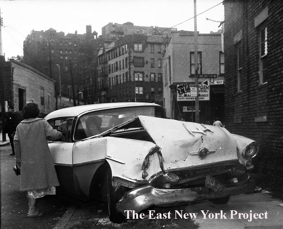
Miller and Arlington Avenues, October 25, 1966 On the left the view is south across Arlington towards Fulton Street. The closeup on the right is the southeast corner. | |||||||||||||||||||||||||||||||||||||||||||||||||||||||||||||||||||||||||||||||||||||||||||||||||||||
|
|
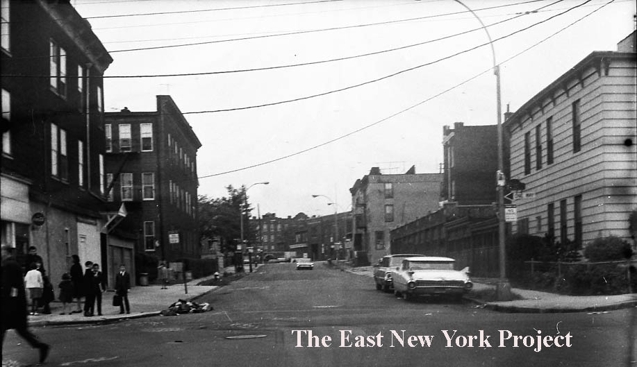
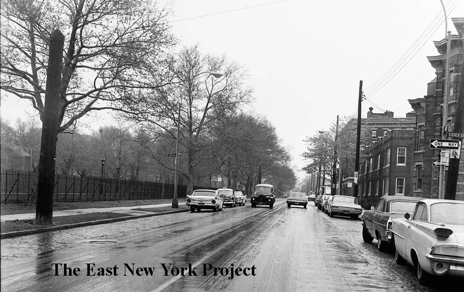
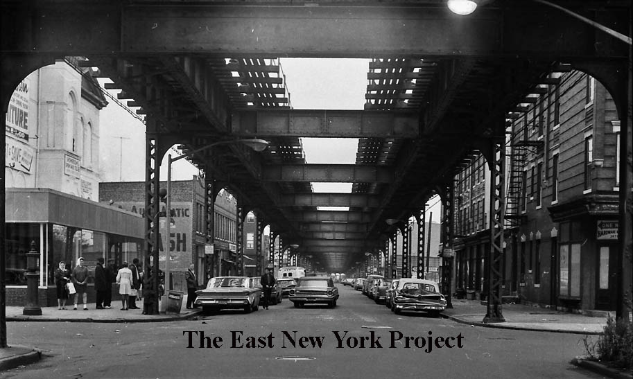
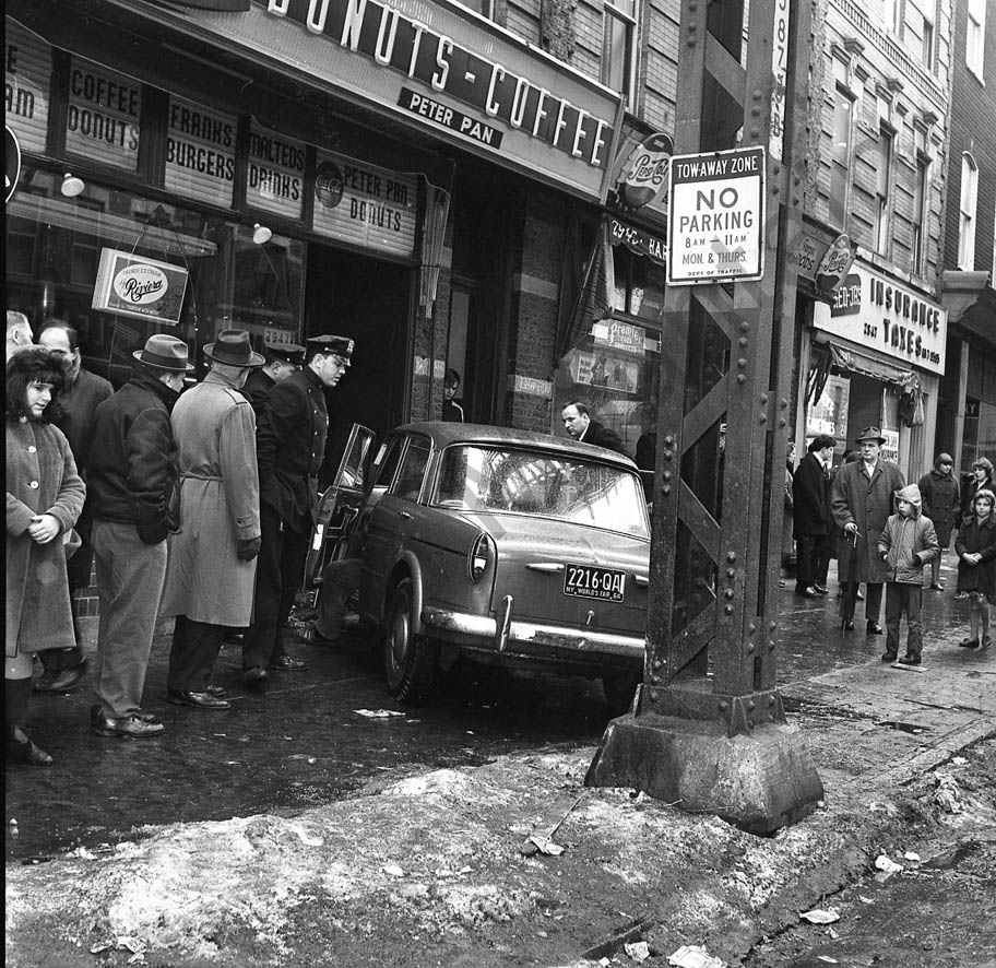
Jamaica Avenue and Essex Street, 1966 Now we have moved along Jamaica Avenue to Essex Street. On the left the view is east toward the YMCA, on the right the view is the opposite direction west. Highland Park’s ballfields are visible in the background. | |||||||||||||||||||||||||||||||||||||||||||||||||||||||||||||||||||||||||||||||||||||||||||||||||||||
|
|
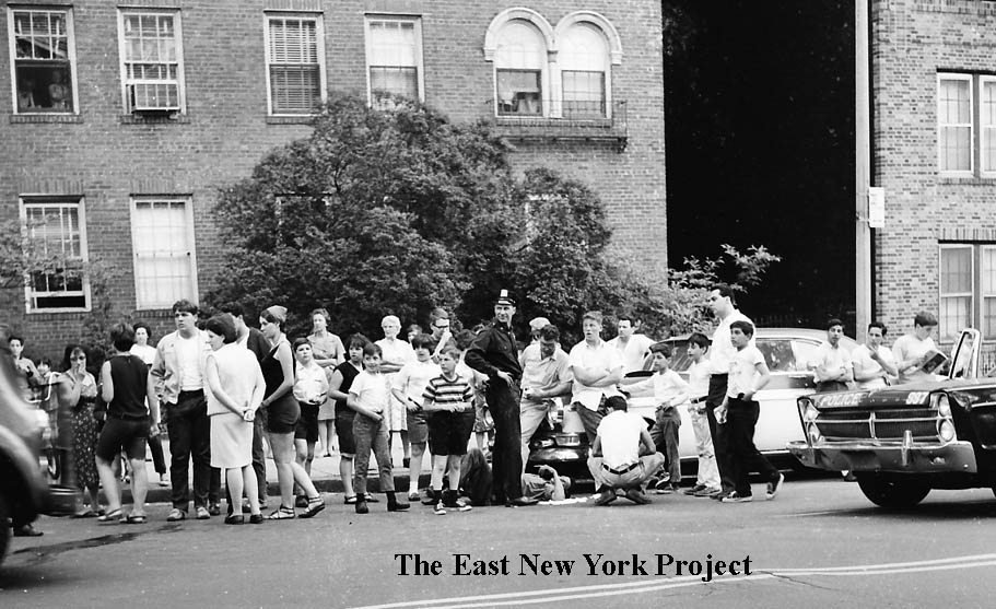
These shots from the same accident evoke specific memories of the exposed cobblestone (and in some places, exposed trolley tracks) that presented a real danger to bike-riding 10 year olds (me!) at that time. Those stones, by the way, were later removed. The slope up to Highland Park made errant throws on the ballfield an adventure, and also represented the last drop for sleigh riders coming down from the top.
|
|
|

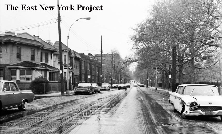
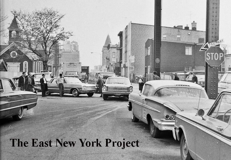
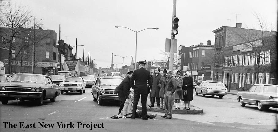
Jamaica and Grant Avenues, March 25, 1965 | This pair isn’t terribly exciting – the first view is the south side of Jamaica Avenue, looking west front Grant. On the right, the north side of Jamaica is visible in the background, a bit of the cemetery and Franklin K. Lane.
|
|
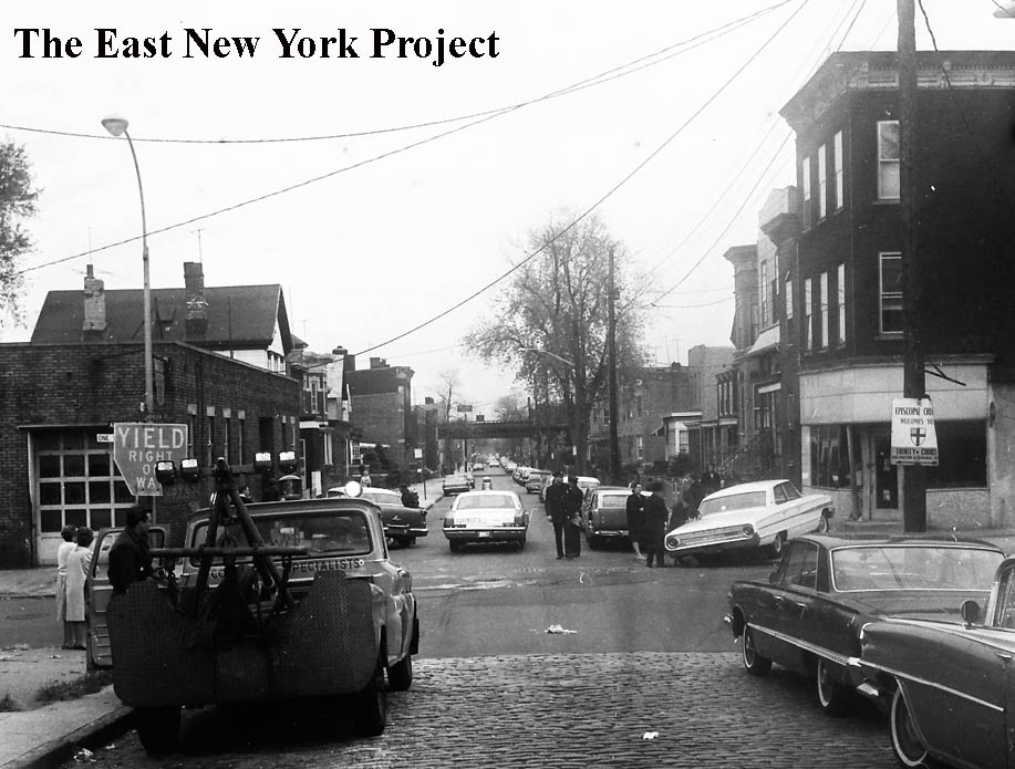
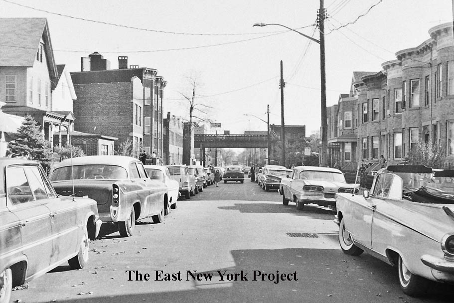
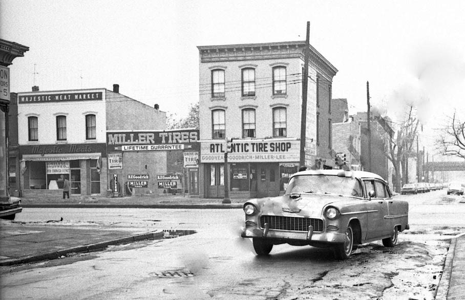
Ridgewood Avenue and Highland Place, March 12, 1966 | The first view is east along Ridgewood Avenue across Highland Place. The close-up is by the southwest corner.
|
|
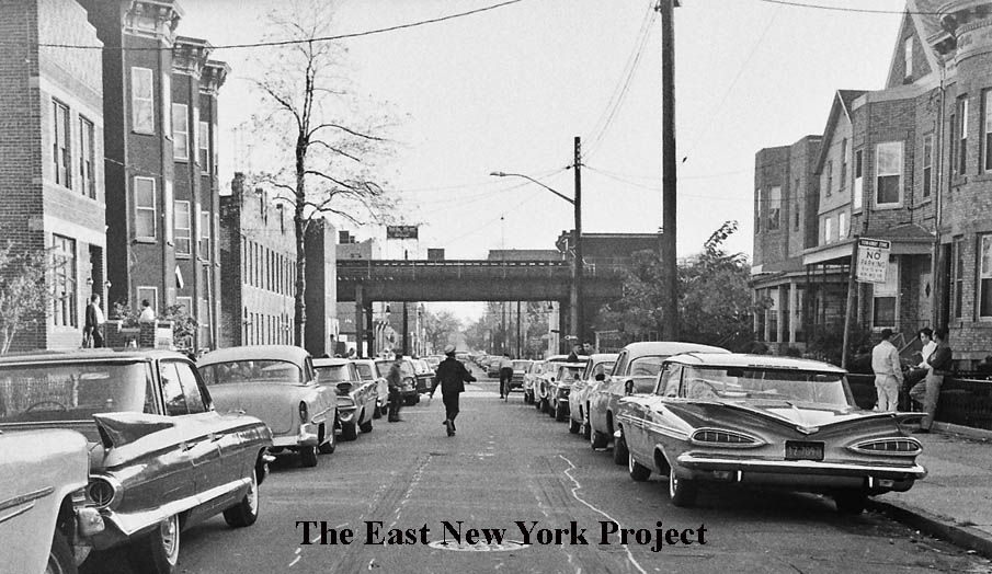
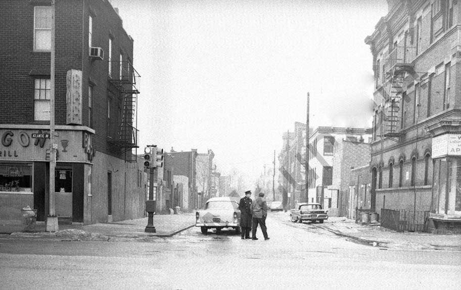
The view is south down Highland Place from Ridgewood Avenue. The El on Fulton Street is visible in the distance.
|
|
|
Georgia Avenue and Fulton Street, April 29, 1966 | Now we’re working Fulton Street west to east. This pair off the corner of Georgia and Fulton features the Wartburg Lutheran Home for the Aged. The first image is looking east down Fulton Street, and the Wartburg Home is on the right. The second image is looking south down Georgia Avenue from Fulton Street. The chapel belonging to the home is on the left. In the far distance we can see the billboard for Piels, there is better shot of that coming up.
|

|
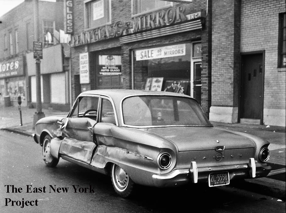
Pennsylvania Avenue and Fulton Street, circa 1967 | The first view is looking north toward Fulton and the el. A dog and cat hospital can be seen on the right. The second view is the reverse, looking south down Pennsylvania Avenue toward Atlantic Avenue.
|
|
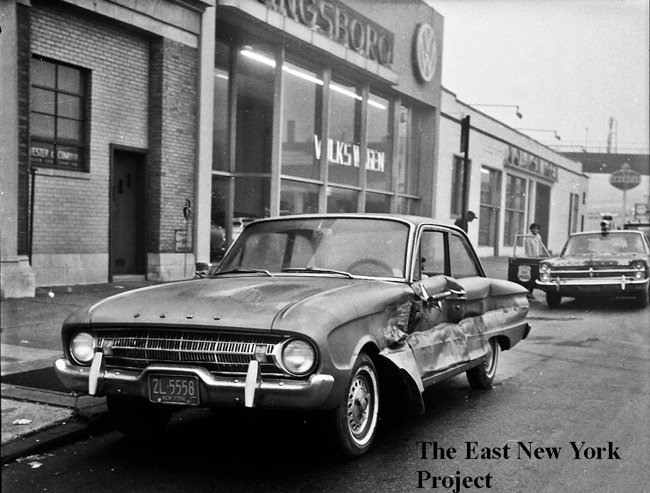
Pennsylvania Avenue and Fulton Street, Ca. 1967 | These views are the west side of Pennsylvania Avenue. The first is looking south from the old Tyrian Temple and the second is north toward Fulton Street.
|
|
The last one in the series is looking southwest from Fulton Street. |
|
|
New Jersey Avenue and Fulton Street, Ca. 1966 | This single shot is of personal interest to me. The view is east along Fulton Street from New Jersey Avenue. On the left is the old P.S. 61, which had ceased serving as a school in the 1930s. I’m not sure if it served any function immediately after that, but by 1950 it had been converted into a dinette factory. I know this because my father worked there; he explained that right out of high school it was difficult to get work because they knew you were draft-eligible. What I didn’t know was that they had a showroom on the first floor, which is visible in the image.
|
|
Miller Avenue and Fulton Street, Ca. 1966 | Both these views are looking south on Miller toward Fulton Street.
|

|
Miller Avenue and Fulton Street, Ca. 1966 | The first view is looking north up Miller toward Arlington. The second I just included for the cool car shot, it is looking towards Fulton Street.
|
|
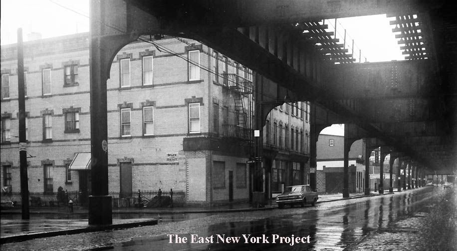
Jerome and Fulton Streets, Ca. 1966 | The first view is looking north up Jerome Street. I wish in the south view toward Fulton on the right the camera had caught Bohack’s, but the angle is only of the northeast corner.
|
|
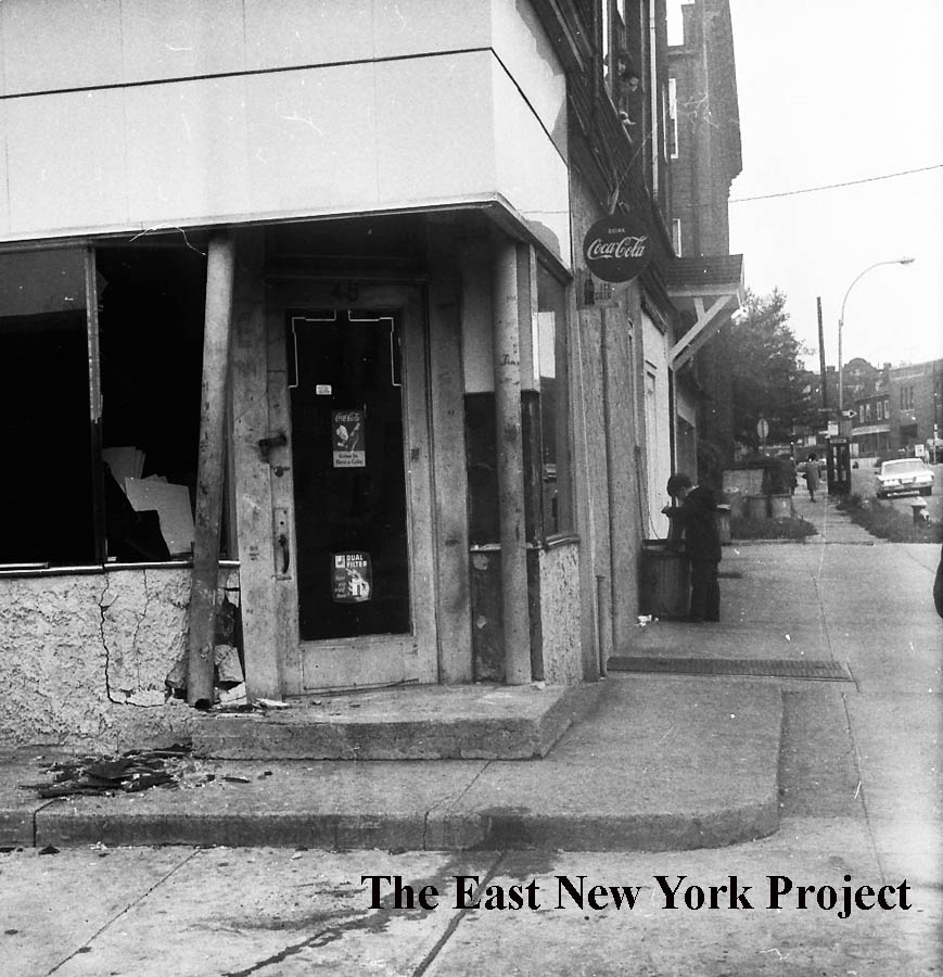
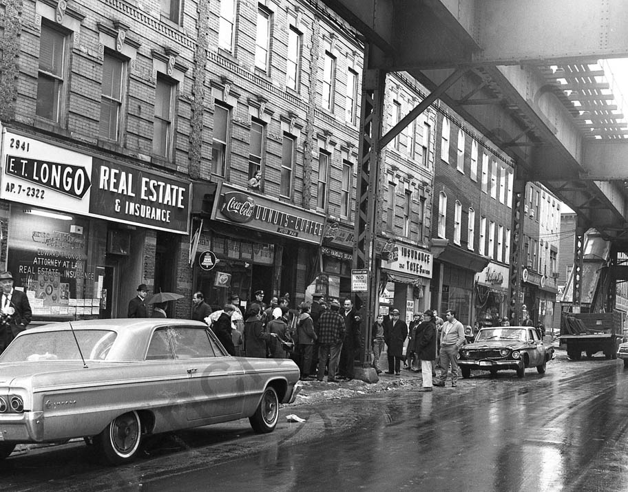
Ashford and Fulton Streets, ca. 1966 | I did not win this auction, so there are watermarks which I have cleaned up since these are great shots and they were just around the corner from where I lived. This is the north side of Fulton Street between Ashford and Cleveland Streets. At the foot of the El stairs was our candy store, the source of our newspapers, spaldeens and baseball cards. The “grown-up” stuff like the Insurance brokers I don’t remotely recall.
|
|
This view is east along Fulton Street from Ashford Street. |
|
|

Georgia and Atlantic Avenues, ca. 1966 | Now we’re down to Atlantic Avenue. In the first view we are looking west, and my uncle always told me that spot was almost a daily accident scene. On the left is the old 26th Ward Bank, then a Manufacturers Hanover branch. My aunt used to live in that building (her father was the caretaker) and in fact the room at the top with the oval windows was her bedroom. On the right the view is east and we can see why it was an accident magnet. There is no stop sign, drivers on Atlantic had the right-of-way but they could not see to their left nor could they be seen by anyone turning off or crossing Atlantic Avenue.
|
|
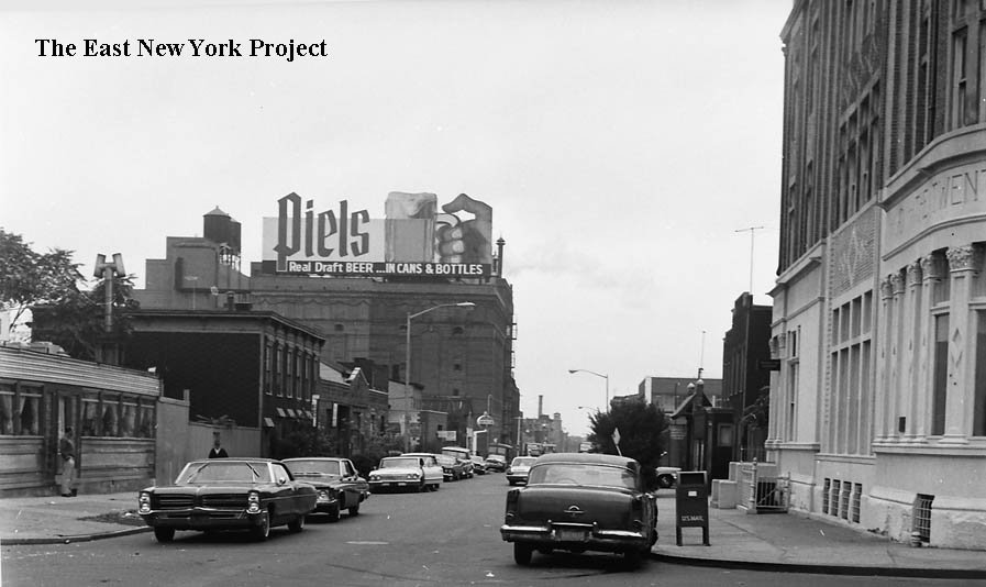
Georgia and Atlantic Avenues, ca. 1966 | I promised a better view of the Piel’s sign, as we can see looking south down Georgia Avenue. Sadly, the famous neon-lit sign of the gnomes bowling was long gone. I have a poor version on the Piel’s page but my search continues for a good one. The view on the right in looking northeast back toward Atlantic Avenue.
|

|
Pennsylvania and Atlantic Avenues, ca. 1966 | Looking west toward Sheffield Avenue and then east.
|
|
Miller and Atlantic Avenues, ca.1965 | I didn’t win this auction, but the pics quite good. The first view is looking north, we see the northwest corner of Atlantic Avenue and the el on Fulton in the distance. The second view is south across Atlantic along Miller Avenue.
|
|
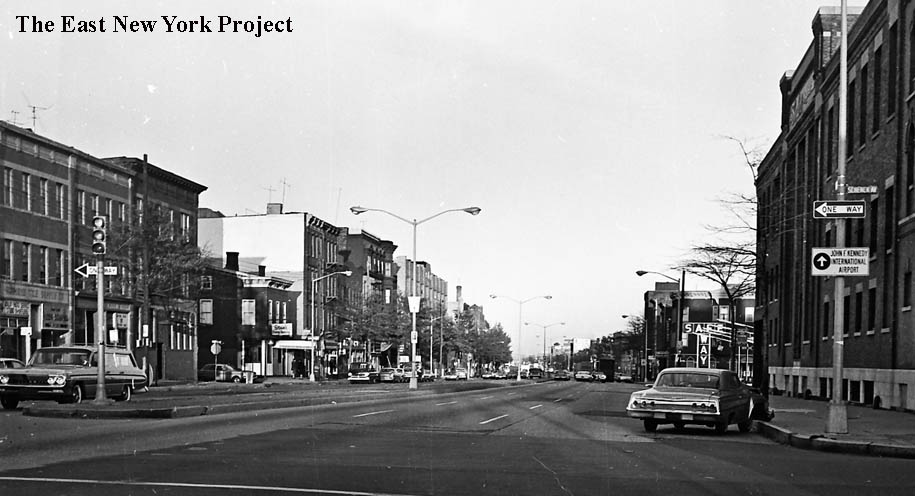
Atlantic and Schenck Avenues, ca. 1966 | The first view is east, and we can the Borden Plant on the right. The other view is west on Atlantic across Schenck.
|
|
Atlantic and Schenck Avenues, ca. 1966 | This view is north along Schenck across Atlantic. The el on Fulton is visible in the distance.
|
|
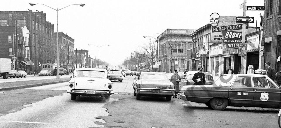
Warwick Street and Atlantic Avenue | First looking west (check out the car!) from Warwick and the second view is east.
|

|
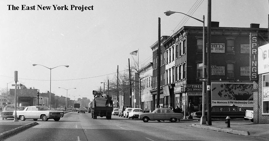
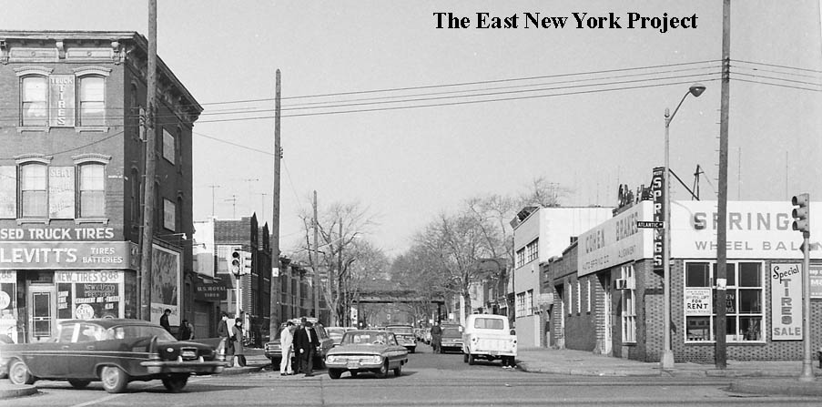
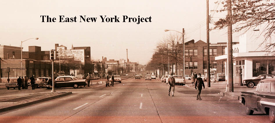
Essex Street and Atlantic Avenues, April 12, 1965 | First we are looking east. The American Numbering Company is on the left and the stack of the old water works is visible. On the right, the view is west. At the corner on the left we see Barney’s, familiar to all those who attended St. Rita’s. Further down the block is Willie’s Ices, partially obscured by the pole.
|
|
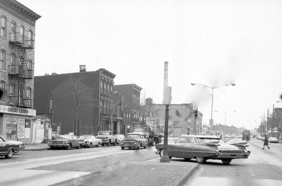
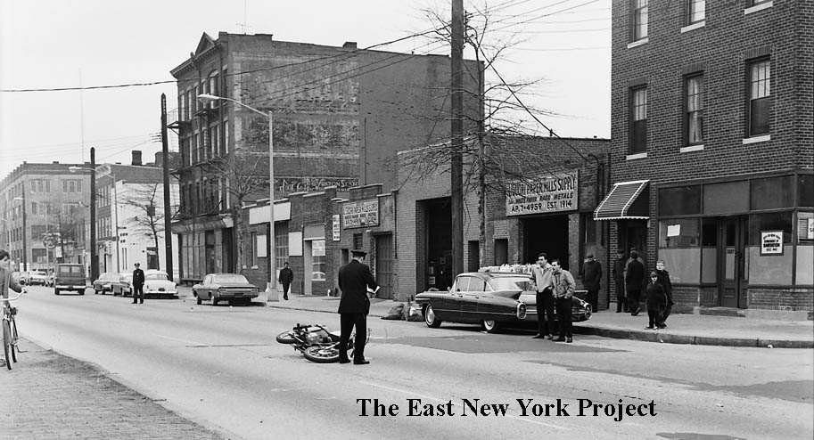
This view is the nothe side of Atlantic Avenue, west of Essex Street. Liquori Paper Mills Supply is visible. |
|
|
Highland Place and Atlantic Avenue, 1966 | Looking west toward Highland Place, White Castle is visible on the right.
|
|
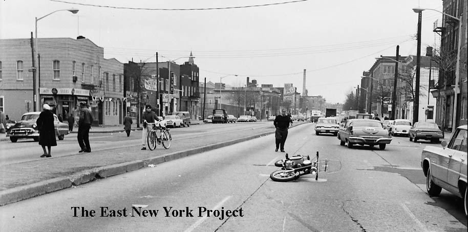
Logan Street and Atlantic Avenue, March 21, 1965 | The first view is west from Logan Street. The second view is south down Logan to Atlantic.
|

|
We end with an iconic view; the pumping station, not long before it was demolished. | | ||||||||||||||||||||||||||