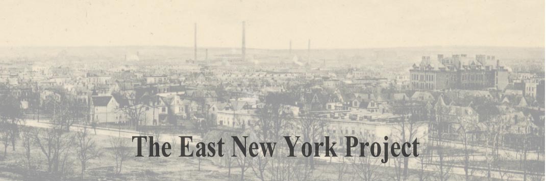
Atlantic Avenue Special
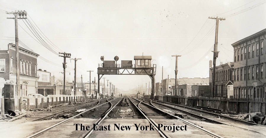
A set of images acquired from Art Huneke who runs the marveloue Arrts Arrchives website devoted to the Long Island Rail Road. Atlantic Avenue was essentially created by the Brooklyn and Jamaica Railroad company in 1836, who laid the tracks but leased the line to the LIRR. |
|
|
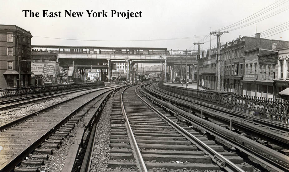
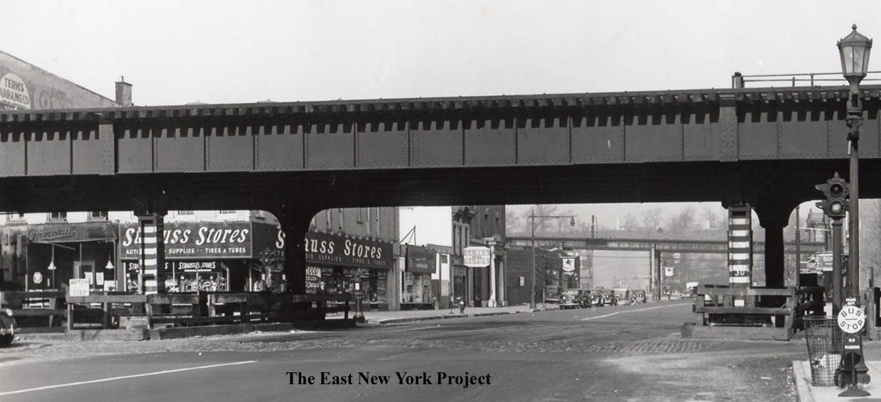
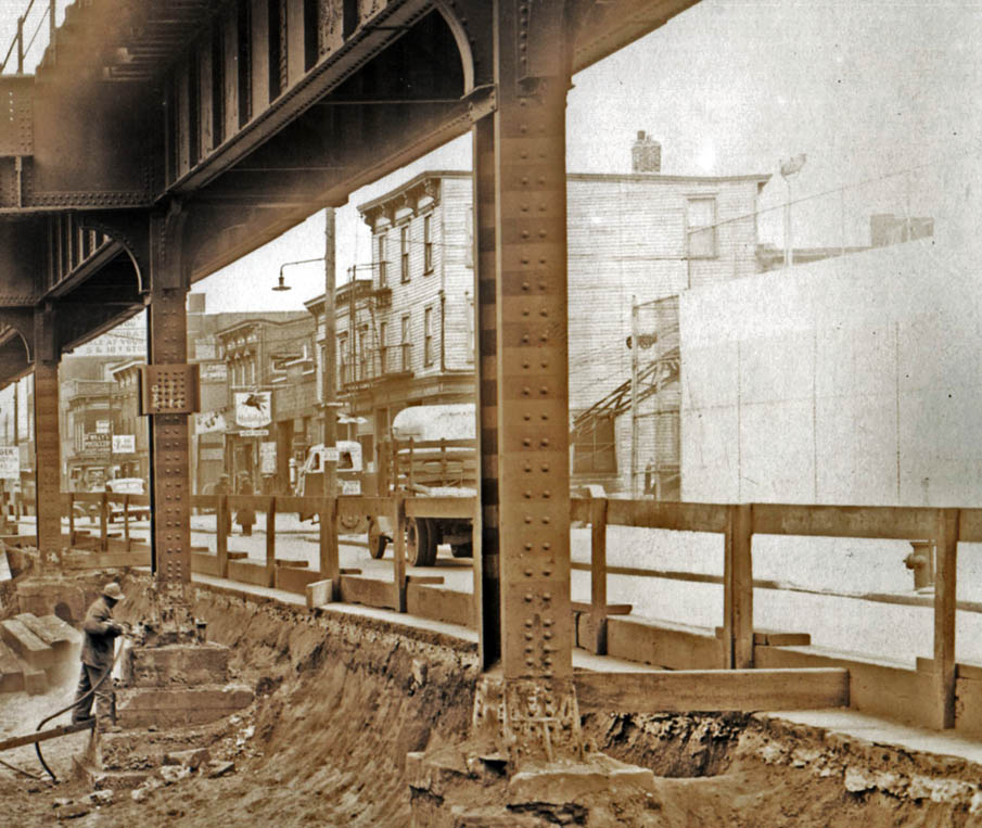
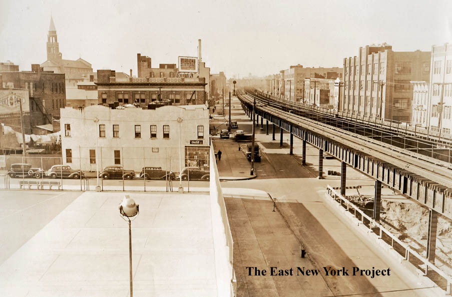
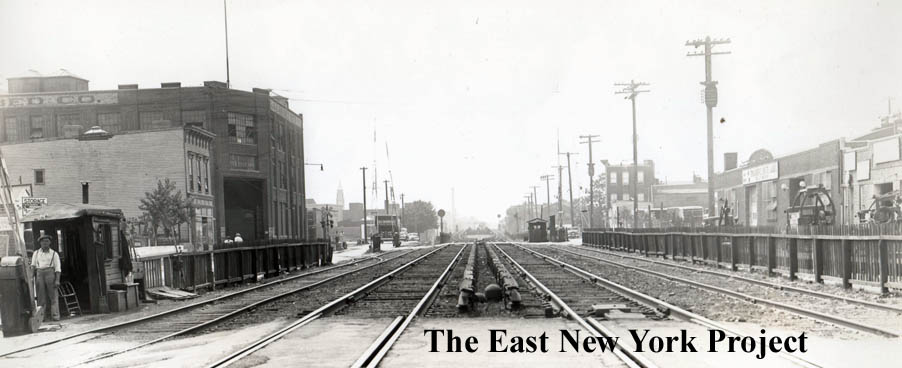
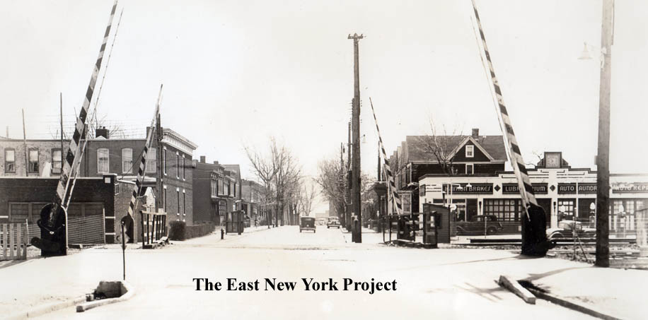
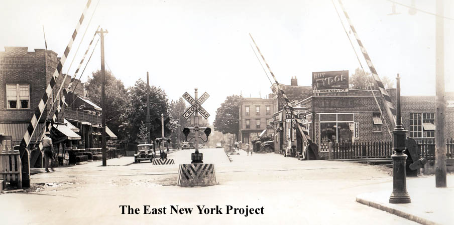
Starting at the western end, on the left the view is west from Williams Avenue in 1930. On the right, the east from Georgia Avenue in 1939.
|
|
|
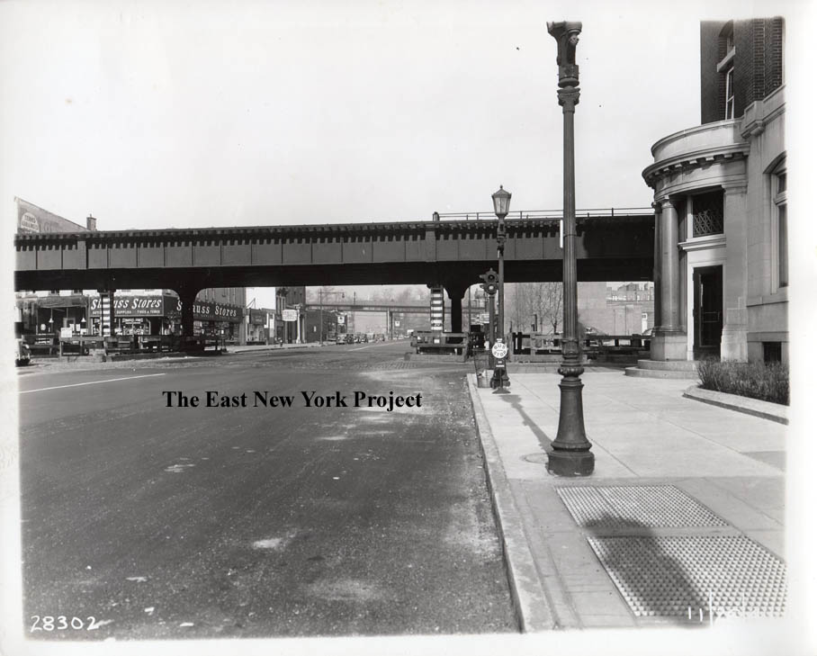
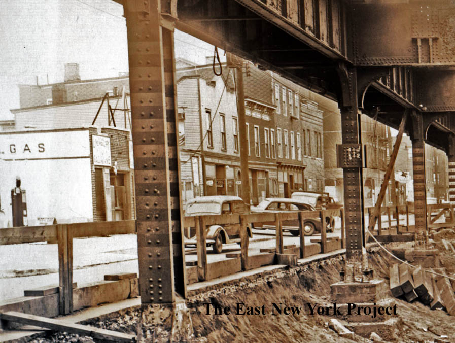
This 1941 view is looking across Atlantic Avenue along Pennslyvania Avenue, with The East New York Savings Bank visible on the right. I included a closeup on the right, you can even see monuments from Evergreen Cemetery in the background. |
|
|
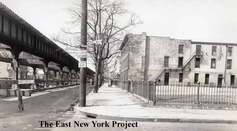
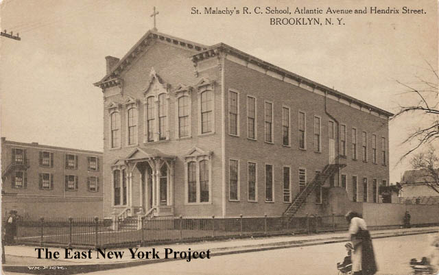
This 1941 view is loooking west from Hendrix Street. The ornate fence around an empty lot caught my eye; I realized it was the fence around the original St. Malachy's School, seen on the right. That was destroyed in a 1929 fire. That means the building after the lot was the St. Malachy's orphan home - but by 1941 I believe it was operating as the school, note the flag hanging outside. |
|
|
I zoomed close on these 1941 views looking east from Elton Street, and brought up the contrast to see the details. On the left is the north side of Elton, and the right is the south side. You can see the handball court wall of Liberty Park, and deep in the distance Willie's Pasticeria.
|
|
|
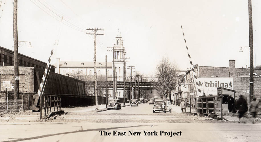
A favorite of mine; looking west in 1940 from Linwood with Liberty Park and St. Michael's in view. |
|
|
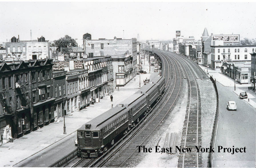
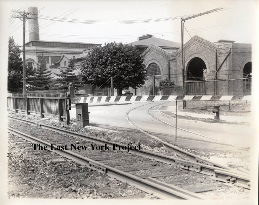
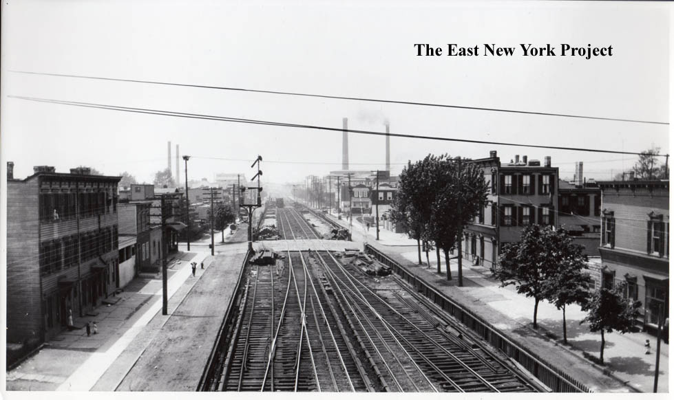
These 1939 views show a view looking south across Atlantic at Norwood Avenue, and on the right, the waterworks at Logan Avenue. |
|

|
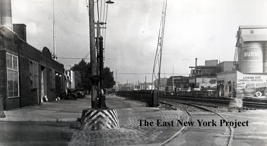
Quite some time back Thom Henrickson told me his parent's wedding reception was in the Logan Inn, and I finally found a picture. On the left the 1940 view is east along Atlantic Avenue, and on the right the 1939 view is south across Atlantic from Logan. |
|
|
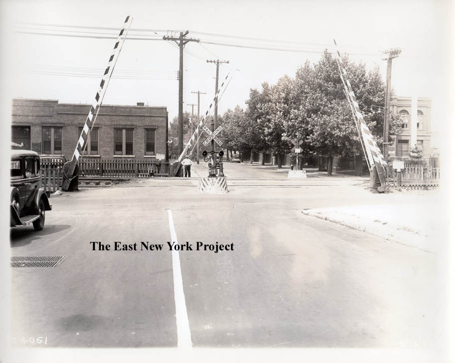
Completing Logan Street views, on the left the view is west, and on the right the view is north. |
|
|
I zoomed the 1939 view looking north along Euclid to have a better view of Blessed Sacrament. On the right the view is south across Atlantic along Euclid in 1940. |
|
|
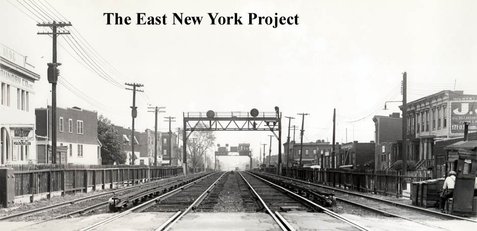
Mirror views; looking east from Euclid and west from Crescent in 1939. "Rite-way" Laundry is visible in both pictures. |
|
|
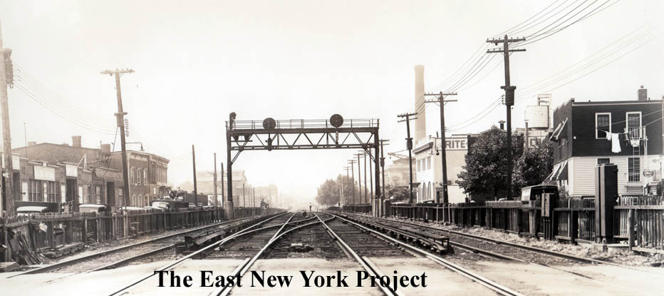
This view is west from Autumn, but in the 1920s. At that time the
Rite-Way Laundry was known as Cypress Hills Laundry. On the right the view is east in 1939. |
|
|
These 1939 views are both looking north across Atlantic Avenue; Crescent Street on the left and Elderts Lane on the right. |
|
|
Looking north (left) across Atlantic on Autumn Ave. and south (right) in 1939. |