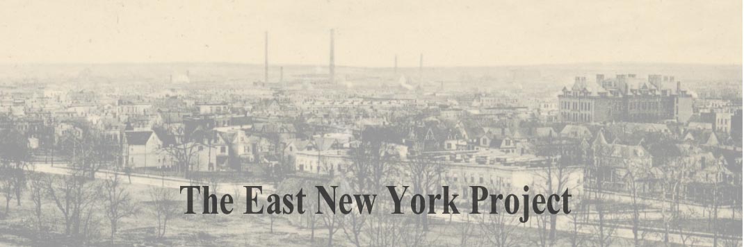
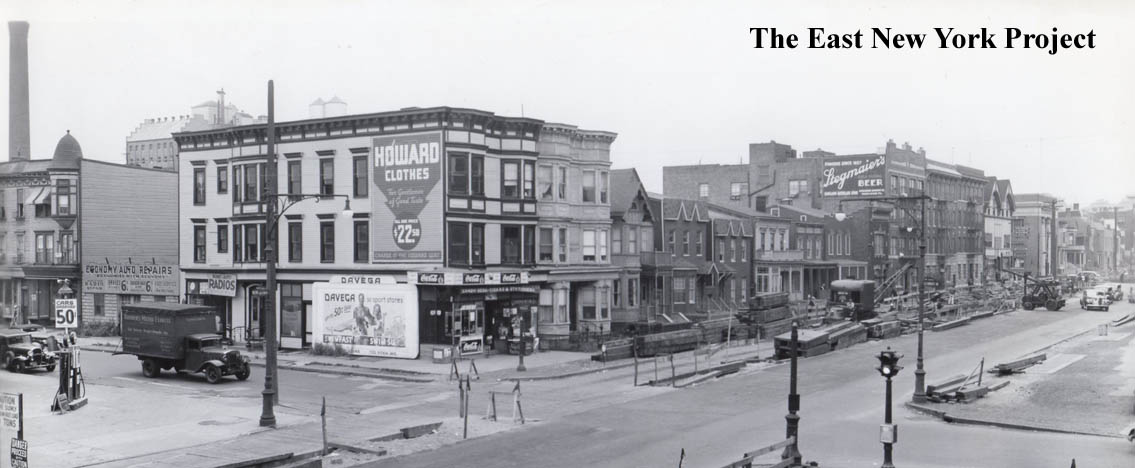
        |
Update PageI recently acquired a collection of images documenting the subway work for the IND line that eventually replaced the old Fulton Elevated line. |
||

| Pennsylvania and Liberty, 1938 The first image was taken before construction began. The view is south along Pennsylvania Avenue across Liberty Avenue. | |
| Looking Northwest, Pennsylvania and Glenmore Avenues, 1940 The city used 'cut and cover' techniques as they moved down Pennsylvania Avenue. The building peeking out in the background on the left is the Piels Brewery. To the far right would be Liberty Avenue, and we can see the original YMCA building and First National City Bank. | |
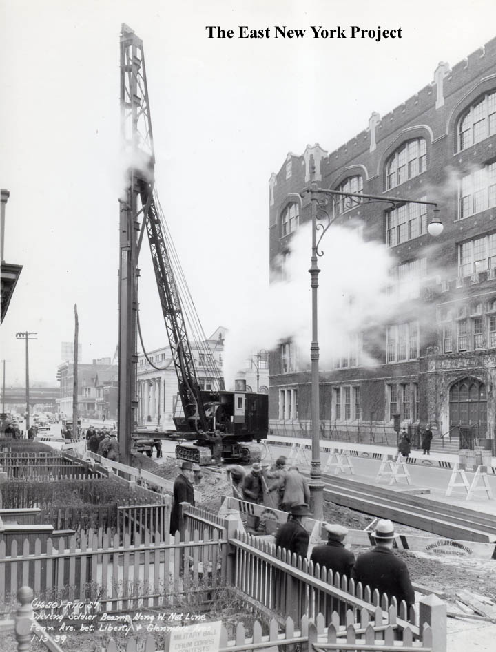
| Pennsylvania and Glenmore Avenues, 1939 This 1939 image is looking northeast. They are driving the soldier beams. P.S. 173 (later Maxwell Vocational) is on the right. | |
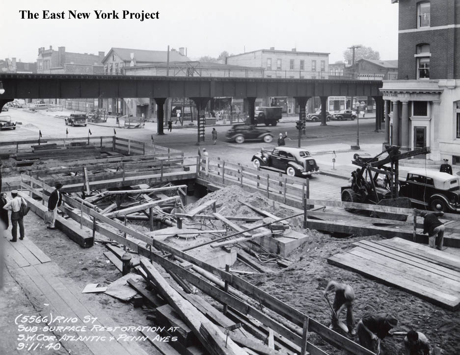
| Pennsylvania and Atlantic, 1940 The view is northeast, and they are restoring the surface in the images from 1940. The LIRR elevated is still standing along Atlantic Avenue at this time, and we see the East New York Savings Bank on the right. | |
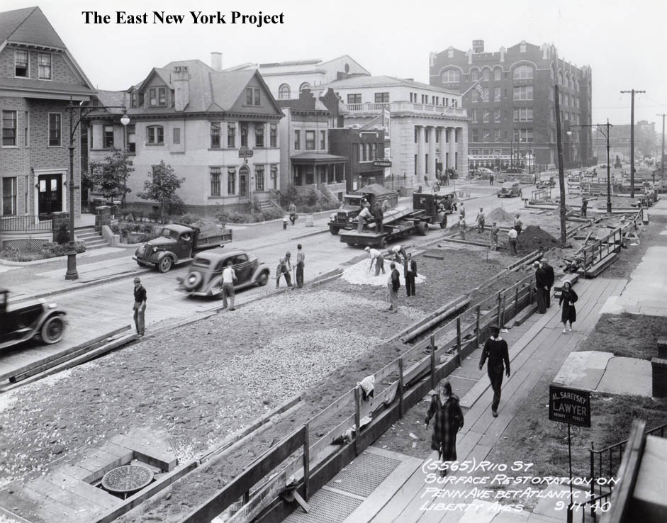
| Pennsylvania Avenue, Atlantic to Liberty 1940 This great shot is looking south, a nice panoramic view along Pennsylvania Avenue from Atlantic to Liberty. | |
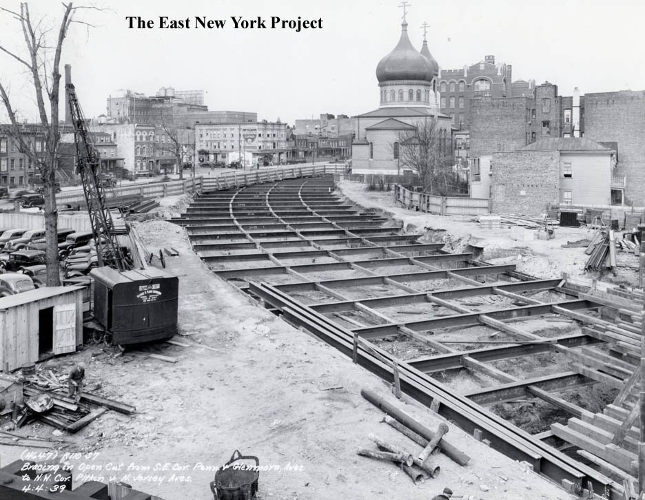
| Pennsylvania and Glenmore, 1939 My favorite view in this series, because it captures the Russian Orthodox Church in the background and shows the bracing placed over the cuts made for the subway. | |
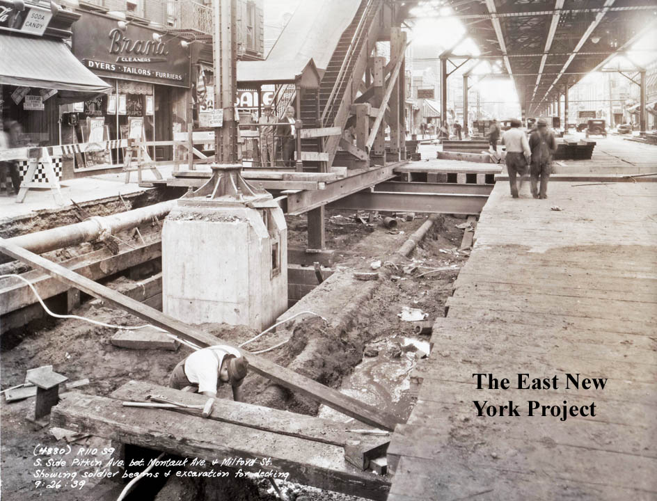
| Pitkin and Montauk Avenue, 1939 Now we have moved further east, down Pitkin Avenue. This view is west along Pitkin between Montauk and Milford. | |
| Pitkin and Chestnut, 1941 The work was labeled as "Excavation through hatches" in this 1941 photo. The view is west across Chestnut under the El on Pitkin. | |
| Pitkin and Doscher, 1940 A view east of the old Fulton El turning north by Doscher. | |
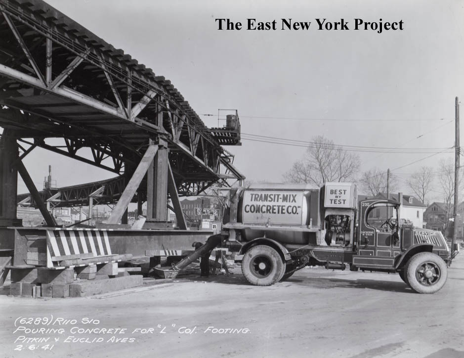
| Pitkin and Euclid, 1941 Also looking east. | |